
Why go on geology field trips?
As a geological consultant I have been asked this question several times in the past, and mainly by management who are engineers. The answer is long and complicated but can be summarized in a few words:
‘to better understand YOUR reservoir.’
I remember visiting a company to do a seismic stratigraphy project where the exploration manager was overly enthusiastic and thought that every clinoform on his seismic data represented an up-dip stratigraphic pinch-out that would be a potential drilling target. The manager had been in the oil and gas industry before I was even born but had probably never had the opportunity to see a clinoform in outcrop. Think about this, if you have never seen a clinoform, how would you know where to drill it? where the highest quality sands are? and how this relationship varies whether the dominant influence during deposition was fluvial, wave or tide?Here are some great reasons to attend a field-trip:1. To understand lateral facies changeIn the modern world of software packages such as Petrel the art of correlation is dying. A simple ‘create new well section window’ and toggling on wells of interest will automatically correlate well tops. To the software package the distance between wells doesn’t matter, and neither does the orientation. This of course is not only unrealistic, but can have a huge impact on field exploitation. The concept of lateral facies change is hammered-in during a field trip. As you stand in front of a laterally extensive outcrop or drive past it, you will SEE rock units thicken and thin, some will be laterally cut by another unit, other times you can see layers pinching out. After the field trip you will question every cross-section you see, and every geomodel based on such cross sections.2. To get a sense of scaleBy scale I am referring not only to the thickness, but the width and length of reservoir bodies. The field teaches these lessons quickly. Once you have seen several shorefaces and deltas in outcrop you will start developing a ball-park figure for their thicknesses. This will help tremendously when interpreting seismic and knowing your resolution, you will know type of reservoirs you will image and those beyond resolution.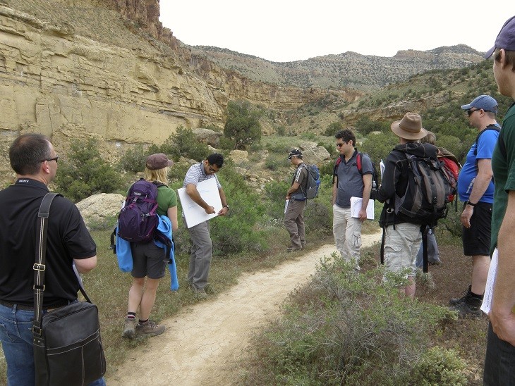
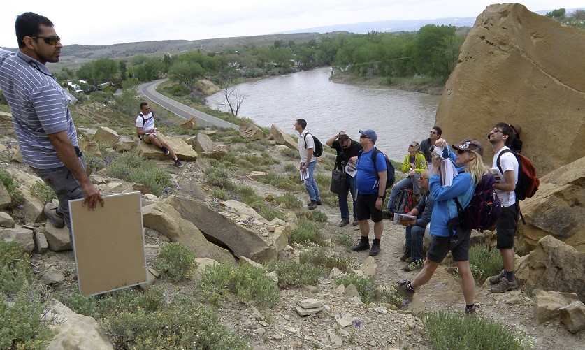
Participants from Wintershall and VNG Norge in the Book Cliff
3.To identify environments of deposition using well logs
Being able to identify environments of deposition from well logs is a skill most geoscientists like to have. Besides the few rules published in a handful of papers such as ‘upwards fining = channels’ there aren’t many resources out there. One of the exercises participants perform repeatedly during my field trips is creating log motifs for the outcrop. In doing so they learn typical motifs for common shallow marine clastic reservoirs such as shorefaces, fluvial and tidal channels, barrier islands, flood tidal deltas and more.
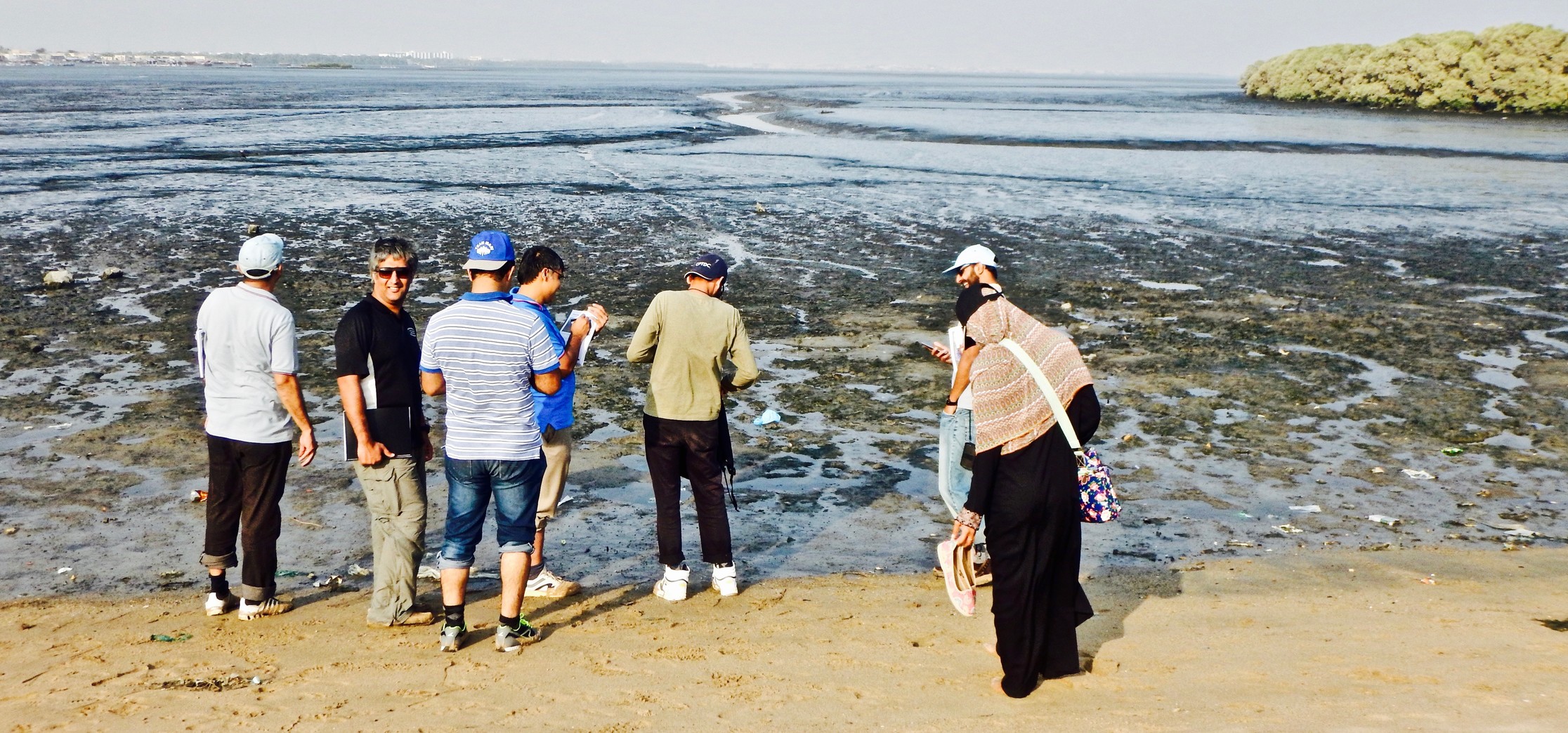
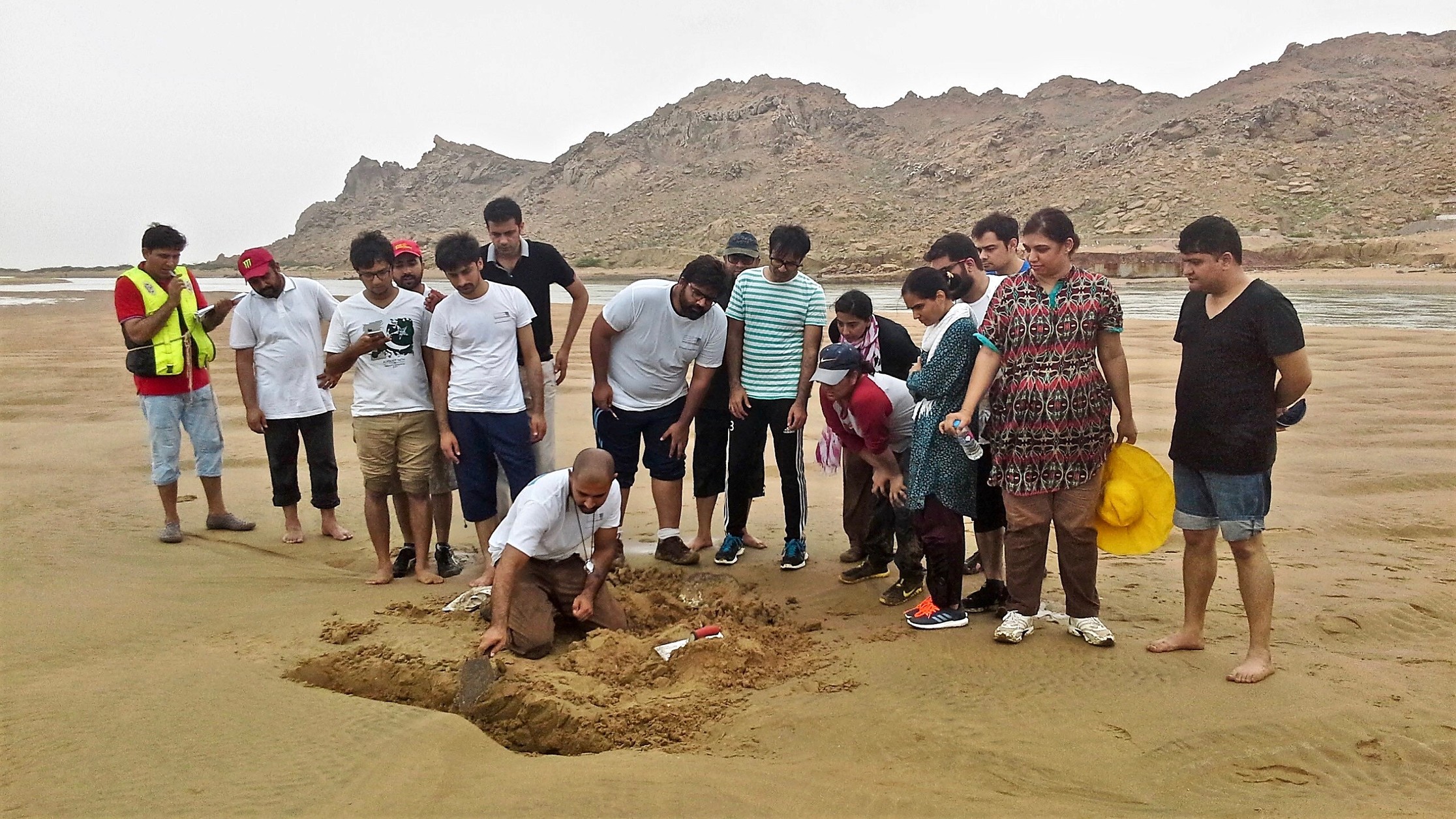
Geoscientists from Mari Petroleum and UEP appreciate tidal creek networks in a back-barrier lagoon
4. To understand seismic facies
This is particularly useful for geophysicists who spend most of their time interpreting seismic. One of the things I do during my field trips is to have seismic interpreters stand in front of a large outcrop and create pseudo-seismic facies. We then compare seismic facies from that depositional system with sub-surface data and discuss seismic amplitude, reflection continuity, and patterns.
5. To learn the latest ideas and techniques
Most folks who are leading geology field trips are very dedicated to their respective discipline. Unlike you they don’t have a long list of deliverables and deadlines due to a manager who is only concerned about numbers. They have time to keep-up with the latest literature and techniques and develop their own over the years. As a field trip participant you get exposed to techniques that would require you to spend hours reading research papers on a weekly basis.
Geoscientists working the pre-salt carbonates of Brazil get up-close and personal with microbial carbonates from New Mexico
6. To network with fellow oil and gas professionals
Geoscience field trips are a fantastic place to interact with professionals from different backgrounds, experience and companies. When I was a full-time employee and used to frequently take field trips, I would always get job offers or an offer to e-mail my resume. For early career geoscientists this is a great way to ‘get your foot in through the door’ by talking to managers from companies you’d be interested to work for.
Unlike the popular perception, a geology field trip is certainly not a vacation and in the past quite a few participants have arrived with that mentality to my trips and then surprised by the amount of work they have had to put in.
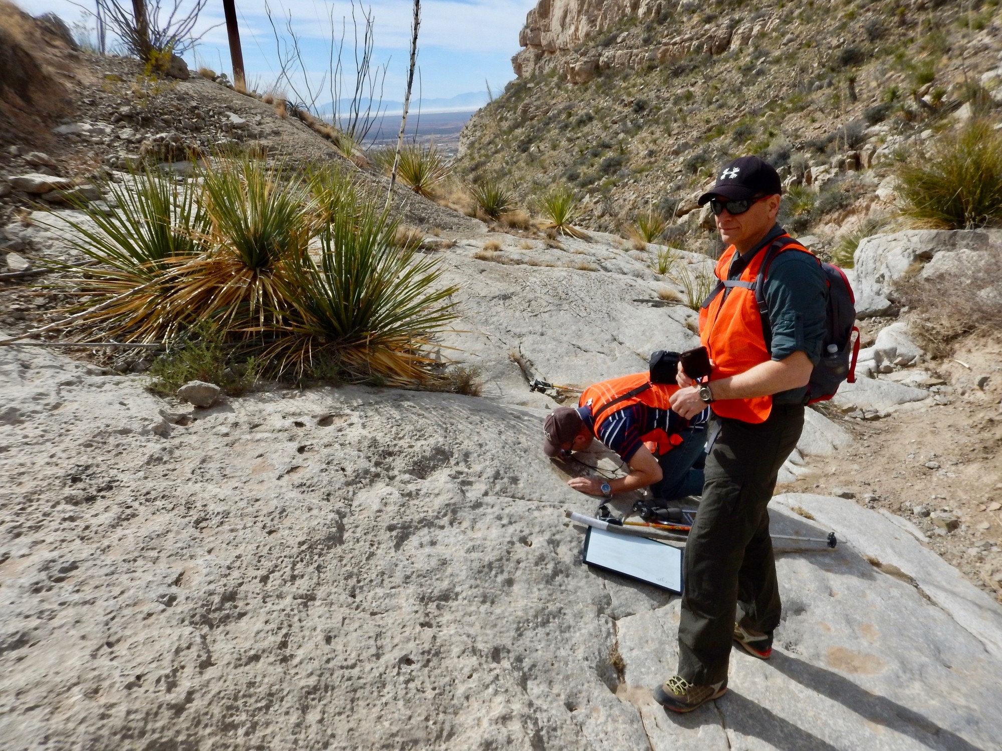
Participants from United Energy Pakistan observe 3D dunes in a trench
Currently the world’s largest geoscience field trip provider is the Nautilus Alliance that has a collection of excellent instructors. The AAPG also offers a series of field trips by well renowned geoscientists. If you are interested in field trips that focus on fluvial and shallow marine reservoirs or carbonate reservoirs Applied Stratigraphix offers a wide selection of field courses as well some of which are focused on plays in the Norwegian Sea, Barents Sea and North Sea.

Post a comment
You must be logged in to post a comment.